

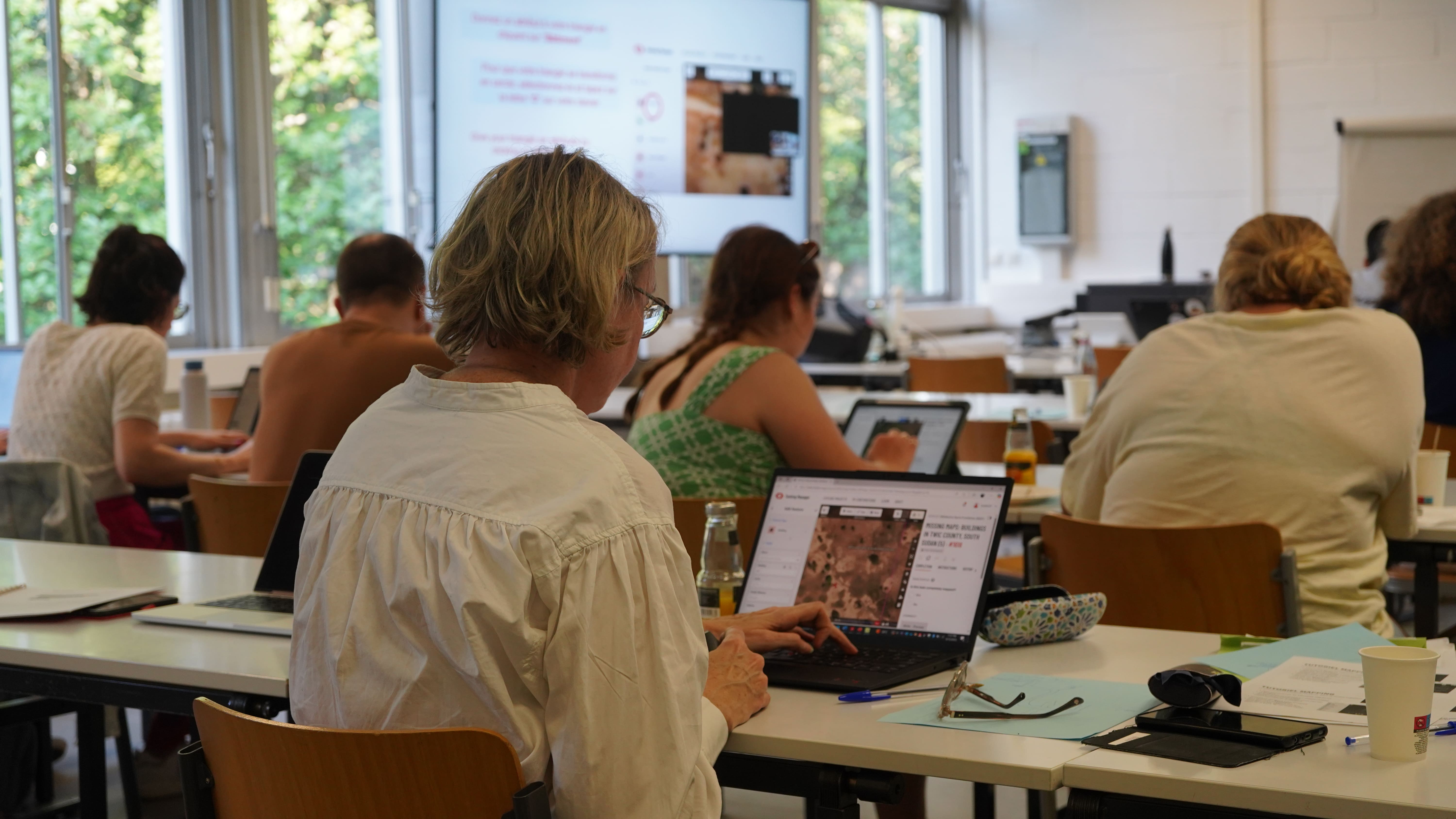
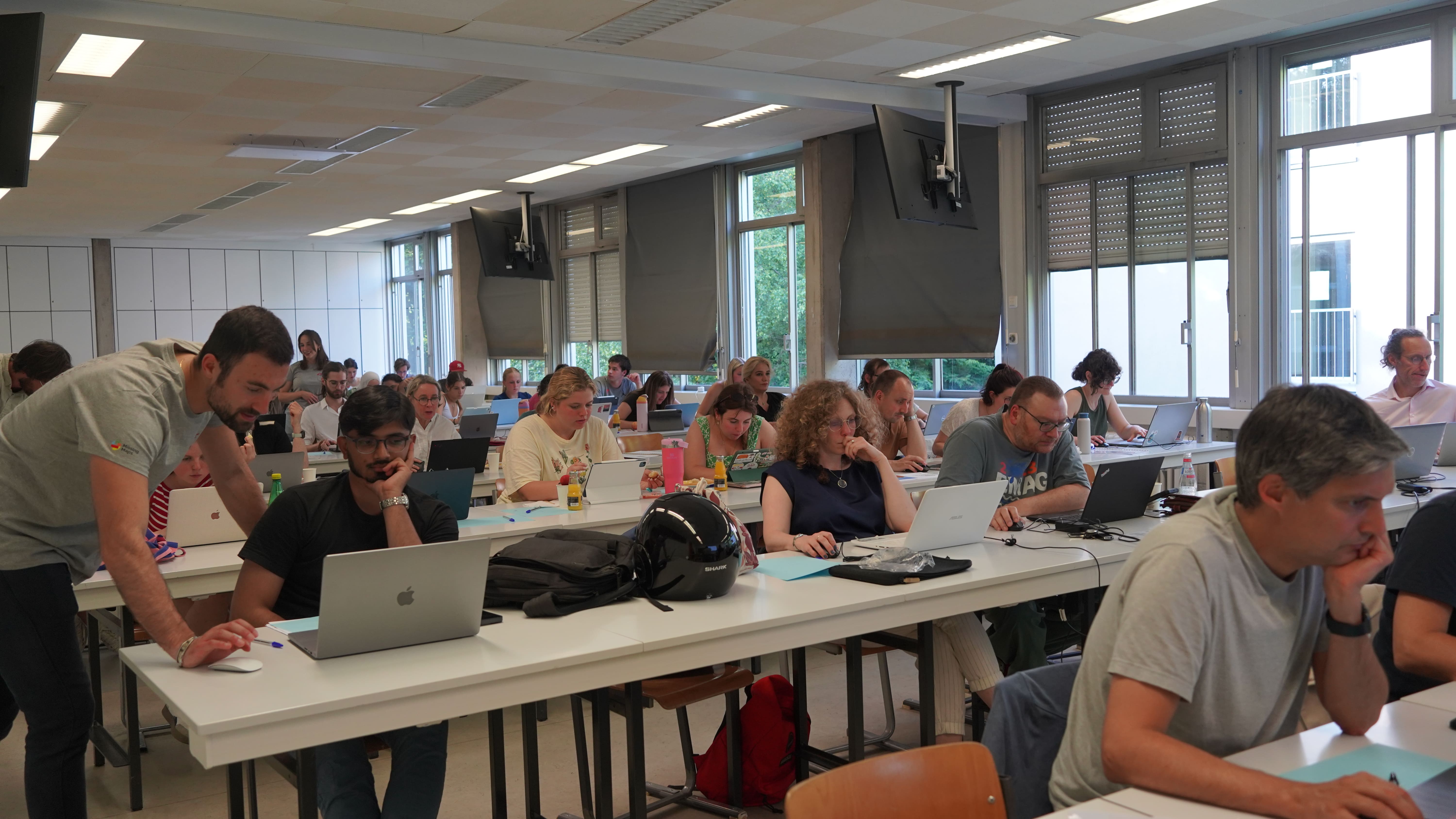
Mapathon on 12 June: 45 participants mobilised to map Nigeria and South Sudan!
In 1 click, help us spread this information :

On June 12, Médecins Sans Frontières Luxembourg organized a mapathon in collaboration with the University of Luxembourg. This open event brought together 45 participants, both in person in Luxembourg and remotely. Together, they contributed to a humanitarian mapping effort supporting our operations in two priority areas: Sokoto (Nigeria) and Twic (South Sudan).
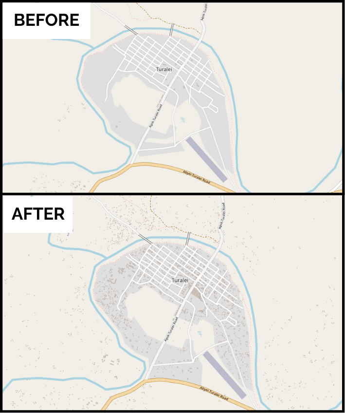
By the end of the evening, 511 buildings and 158 roads (35.2 kilometers) had been identified from satellite images and added to the Missing Maps database. This valuable data provides critical support to MSF field teams, enabling them to respond faster and more effectively to the needs of populations without access to healthcare.
Why map remotely?
In many areas where MSF operates, available maps are incomplete or entirely missing. Yet to plan an effective medical response, it’s essential to know the location of villages, roads, health centers, or water points. This is where collaborative mapping comes into play.
Mapathons are participatory workshops where anyone, even without technical skills can help improve and enrich mapping data. Using satellite imagery and an open-source online tool, participants identify buildings and roads. Every click helps build a clearer picture of the terrain, making humanitarian action more effective.
For my first mapathon, I thought it would be difficult, but it turned out to be very accessible. Even though everyone was focused on their screens, there was a real group energy, it was really motivating! It’s amazing to think that from Luxembourg, we can have a real impact and help field teams better respond to the needs of vulnerable communities.
Éléonore, mapathon participant
Solidarity and tangible impact
Throughout the evening, participants were guided step by step with tutorials prepared by our teams, with the valuable support of RSS-Hydro. Beyond the technical guidance, a presentation on the humanitarian context served as a powerful reminder of the meaning behind every click: behind each mapped building, there could be an isolated family, a health center in need of supplies, or a community that must be protected during an epidemic.

We focused our mapping efforts on Twic County, South Sudan, where MSF provides emergency medical assistance to communities affected by conflict, large-scale displacement, and natural disasters. Our teams respond to outbreaks such as measles and cholera and carry out mass vaccination campaigns. Malnutrition is a major challenge in the area, tackled through hospital care and intensive feeding programs for severely ill children. We also provide a wide range of medical services, emergency care, maternity, and chronic disease treatment, while improving access to water and sanitation and offering psychological support to those traumatised by violence.
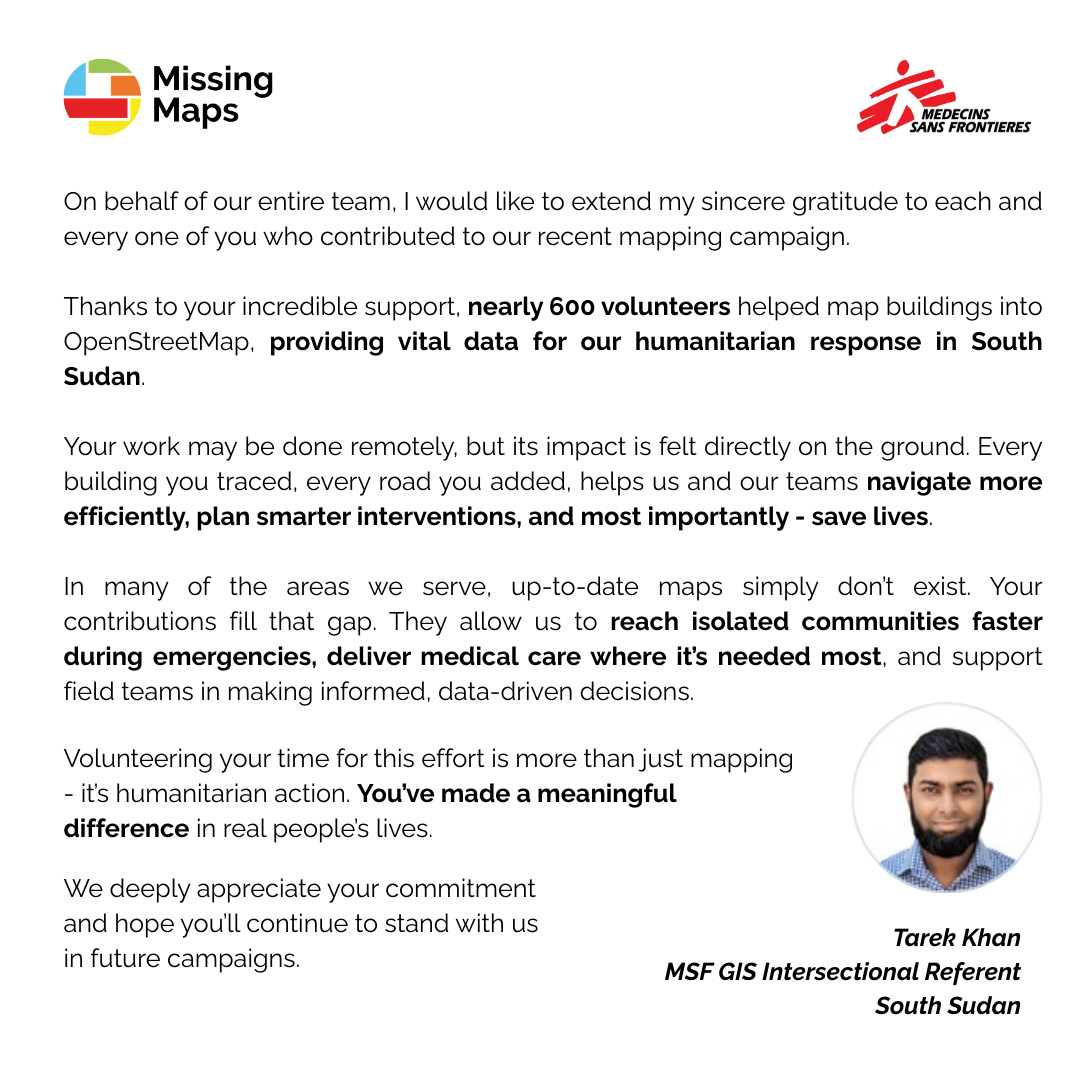
The participatory mapping campaign in Twic county was launched at the request of Tarek Khan, a GIS specialist in the field. The aim: to provide precise geographical data to improve the planning of humanitarian operations. Thanks to the efforts of 725 volunteer contributors around the world, 99,708 buildings have been mapped on OpenStreetMap, using satellite images.

In Sokoto, Nigeria, MSF has been active since 2014, responding to the overlooked crisis of malnutrition and supporting people displaced by violence. We work closely with the Noma Children’s Hospital, where our teams deliver comprehensive care: reconstructive surgery, nutritional support, and mental health services. Noma, a disease linked to extreme poverty, primarily affects children under seven. Without treatment, 90% of those affected die within two weeks. In Sokoto, MSF works daily to give these children a real chance at survival and recovery.
A heartfelt thank you to everyone who took part whether on the Kirchberg campus of the University of Luxembourg or remotely. You’ve shown that it’s possible to make a real impact, even from thousands of kilometers away..
Would you like to take part in the next mapathon?
Join us for our next events! Whether you're a beginner or an expert, your help is invaluable.
? Sign up for our newsletter so you don't miss a thing: