
February 2026 Mapathon: your clicks made a difference for our teams!
In 1 click, help us spread this information :
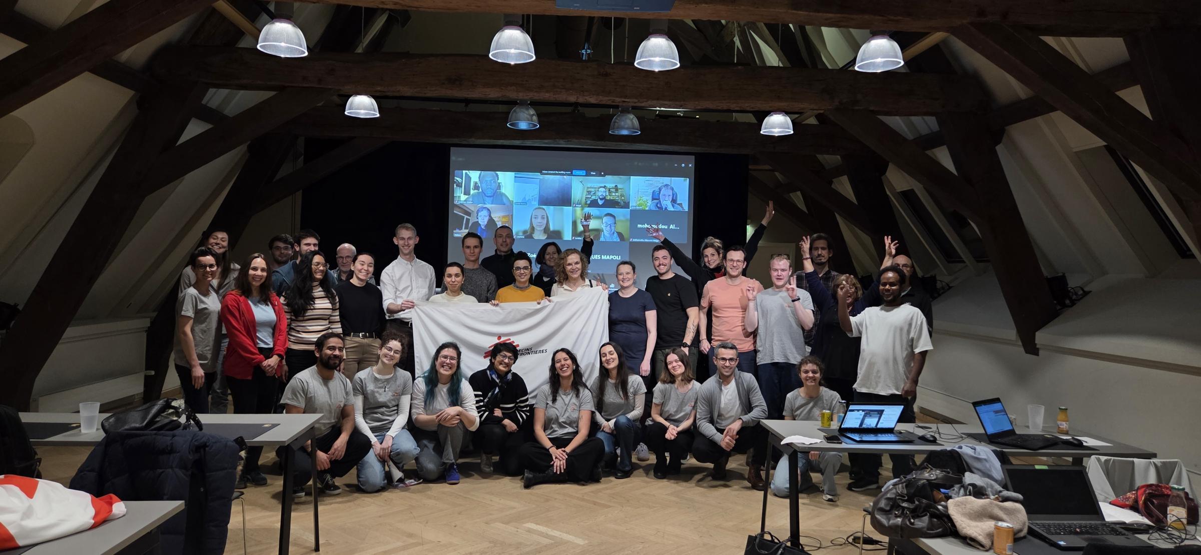
The community of mappers at Médecins Sans Frontières Luxembourg gathered on 25 February for a mapathon at Neimënster. The event brought together 59 participants, both in person from Luxembourg and remotely. Together, they contributed to a humanitarian mapping effort in support of our operations in the province of Bamyan in Afghanistan and in the Ouaddai region of Chad.
By the end of the evening, 376.4 kilometres of Afghan roads and 2,827 Chadian buildings had been identified on satellite images and added to the Missing Maps database. This essential information makes it possible to estimate the local population and identify the most effective means of transport for providing care to as many people as possible.
Why mapping from abroad?
In many of the regions where MSF operates, available maps are incomplete or even non-existent. However, in order to plan an effective medical response, it is essential to know the location of villages, roads, health facilities, and water points. This is where collaborative mapping comes in.
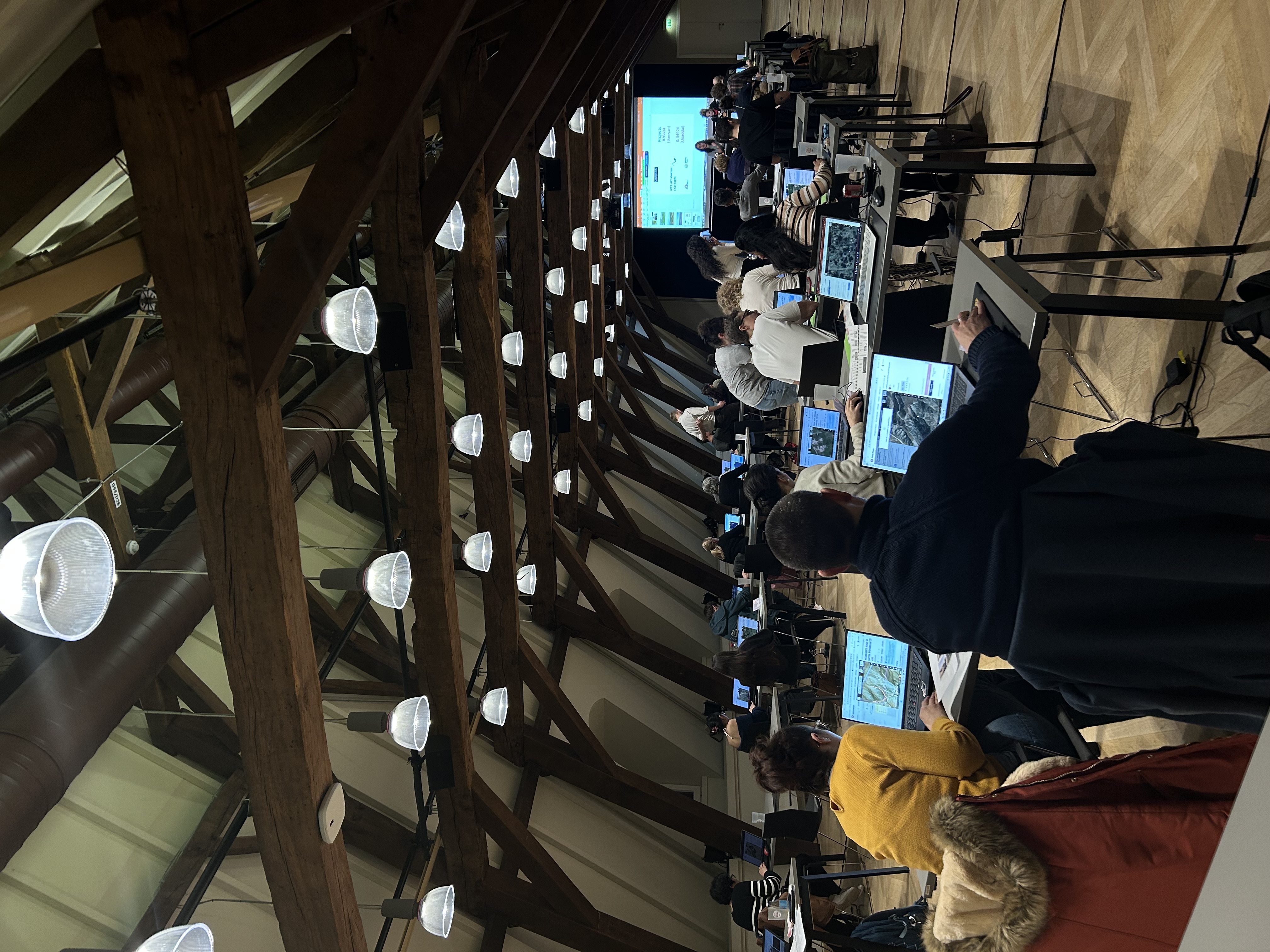
Mapathons are participatory workshops where anyone, even without prior technical knowledge, can contribute to improving and enriching mapping data. Using satellite images and an online, open-access tool, participants identify buildings and roads. Each click provides a better understanding of the spaces where we have projects, enabling more effective action.
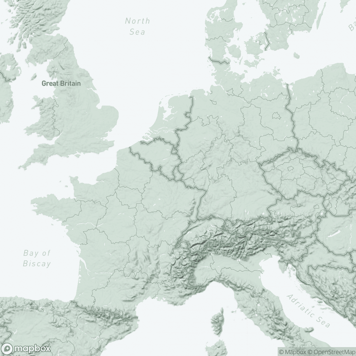
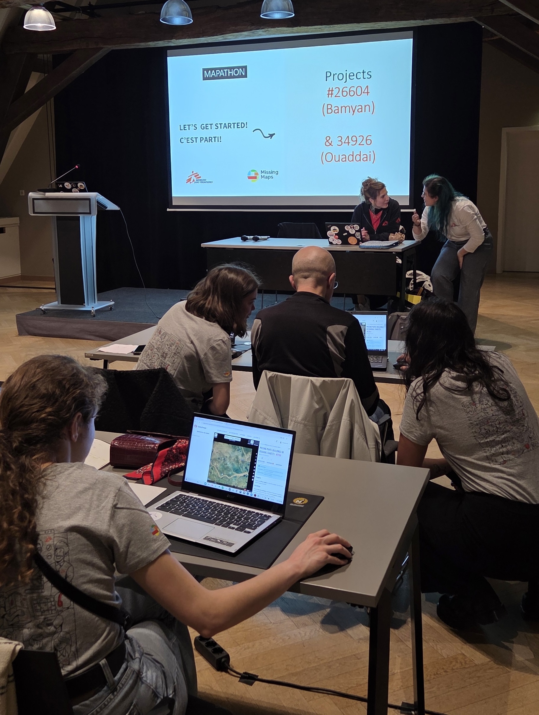
The province of Bamyan in Afghanistan and the Ouaddai region in Chad were chosen as working areas.
The areas mapped during mapathons are based on requests made by teams working on humanitarian projects.

In the mountainous province of Bamyan, in central Afghanistan, infrastructure is underdeveloped and access to roads and electricity is limited. Since the Taliban took control of Kabul in 2021, many international organisations have left the country, making access to healthcare particularly difficult. MSF teams have remained in place, particularly in Bamyan, and are providing emergency, paediatric and maternal care in this country, which has one of the highest maternal mortality rates in the world.
In the Ouaddai region, located in eastern Chad along the border with Sudan, MSF teams provide medical care and assistance to displaced persons, including the many Sudanese refugees in the Adre, Aboutenge and Metche camps. MSF works to prevent or mitigate seasonal peaks in malnutrition and malaria among children. The teams carry out vaccination campaigns (measles, diphtheria, cholera).

Why map roads and buildings in these two areas?
Mapping roads in Bamyan province helps identify the most viable routes for transporting medicines, moving patients or deploying teams during our interventions. By improving knowledge of the road network, maps facilitate logistical planning in a region where every kilometre travelled can make a difference.
Mapping buildings in the Ouaddai region makes it easier to locate local communities and areas of intervention for awareness-raising and medical interventions, and facilitates the fight against epidemics.
Collective mapping to support humanitarian action
During the evening, participants immersed themselves in a collective mapping exercise, guided step by step by tutorials designed by our teams, with the support of RSS-Hydro team members, who are present at each of our events to assist participants.
Would you like to participate in the next mapathon?
New: come and get your Mapathon passport stamped!
Join us for our upcoming events! Whether you are a beginner or experienced, your help is invaluable.
Subscribe to our newsletter to keep up to date with the latest news.
