
Mapathon on 5 February: 13,035 buildings mapped by our participants
In 1 click, help us spread this information :
Remote action to support MSF projects in Niger

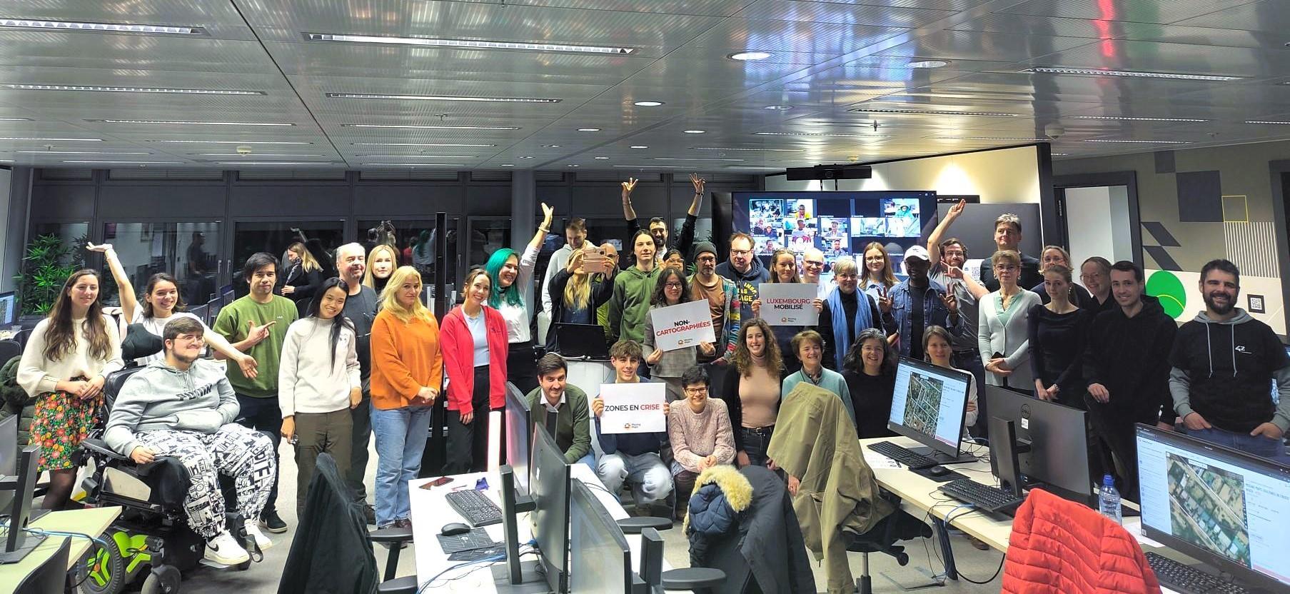
On Wednesday 5 February, 124 people took part in our mapathon, organised with the support of the Université Populaire de Belval and the Digital Learning Hub, from Luxembourg, but also from Angola, Burkina Faso, Côte d'Ivoire, Nigeria, Chad, Mali, France and many other places!
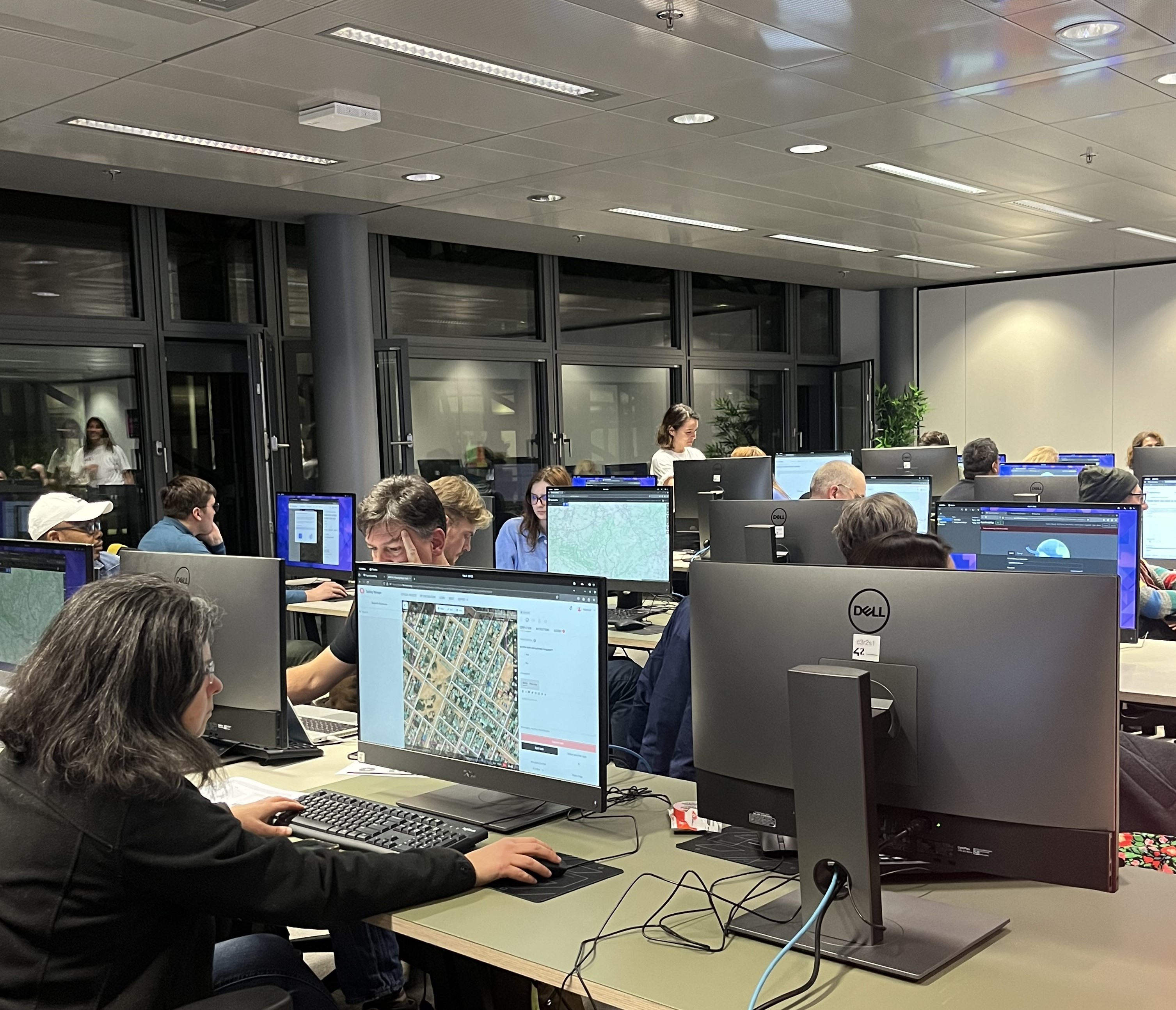
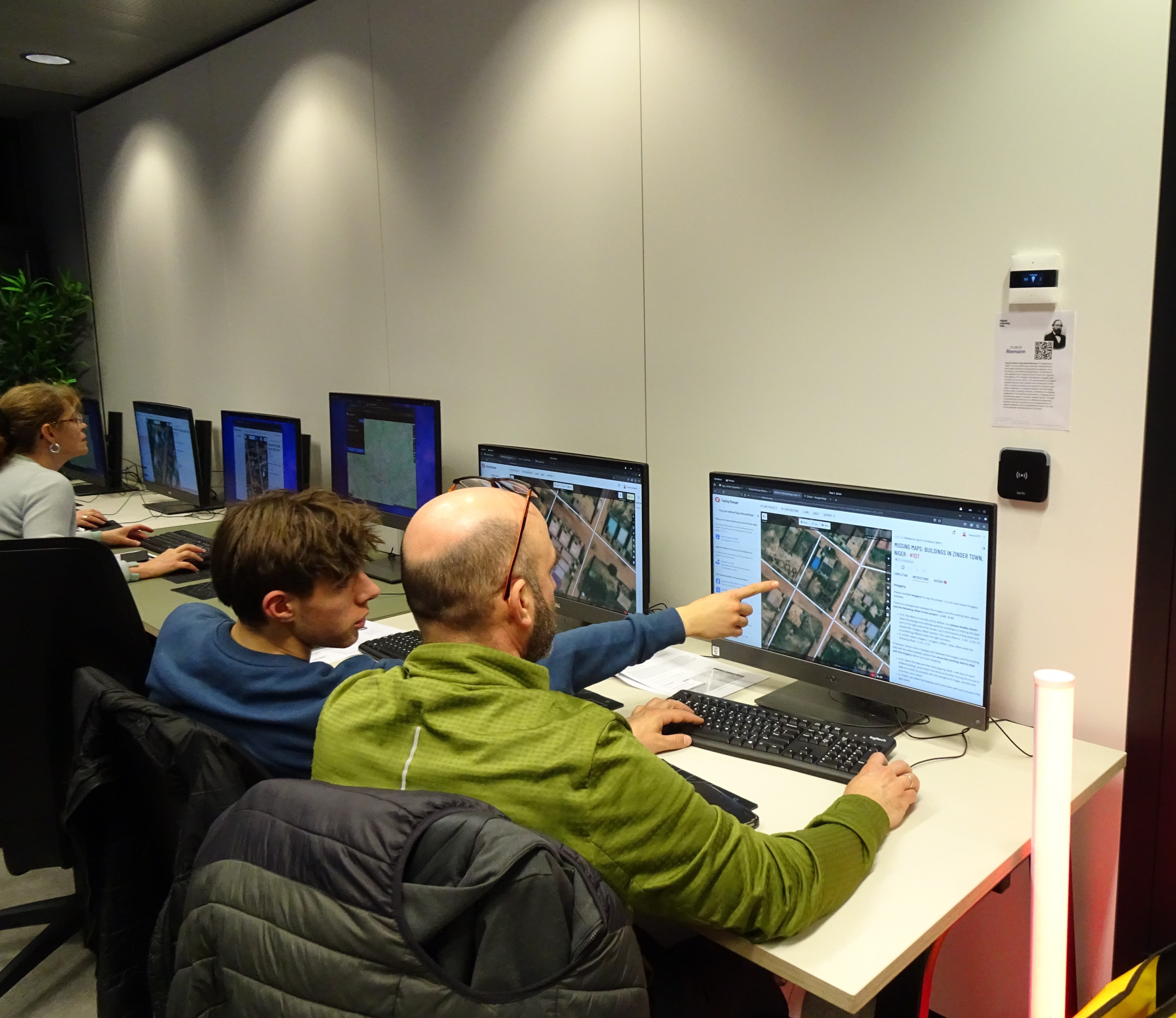
Mapathons enable volunteers to mobilise remotely to support the actions of teams on the field, by identifying the location of houses or roads on satellite images. These informations are crucial in helping MSF teams to intervene more effectively, particularly during epidemics or vaccination campaigns. No technical skills required. Everything is accessible, and every building mapped means that we can work more effectively with populations deprived of healthcare.
13,035 buildings mapped by our participants
On February 5, the MSF Luxembourg and MSF WaCA teams were present on-site and online to support the participants, but also, and above all, to present background information, which is essential for understanding the importance of the remote mapping mission they accepted when they signed up for the mapathon.
By the end of the event, 13,035 buildings in Niger had been mapped. It was a major undertaking, carried out with the support of the RSS Hydro teams, who provided help and explanations throughout the event.
A huge well done to everyone for this great show of solidarity and invaluable support for the MSF teams, who work every day in the field to improve the lives of people in difficulty!
Would you like to take part in our next mapathon? Keep up to date by subscribing to our newsletter.